The last entry could have been said to be brought to you by the letter ‘M‘. ‘M‘ for miserable, maudlin, malingering and moaning… Well today ‘M‘ is for a moratorium on such behaviour. And for MTFU and get on with it! Enough already, right? 😉
Today’s ride was an ACG one, and today’s route was created by yours truly. I don’t know why, but I decided it would be nice to go back to The Potting Shed in Langport. This has the advantage of including a few lumps, most notably High Ham Hill, is somewhat flatter on the way back, and is a respectable length loop, being about 46 miles. To be fair, I did advertise it in advance as it was a bit longer than our usual rides are, and I’d happily have done something else if necessary, as this is after all a democracy not a dictatorship. Honest ;).
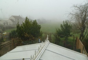
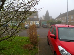
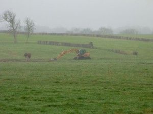
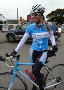
So another Sunday morning dawned. Tell me, how am I supposed to figure out what to wear when it’s so foggy I can’t see the end of the field behind my house, let alone the weather? Heaven forbid there should be any consensus to the weather forecasts and the actual weather conditions being recorded out there…*sigh*. I guess I should maybe have gotten out of bed even earlier to allow for more outfit consideration (aka faffing)? As it was, it looked like it might be chilly, I was feeling a little mentally chilly, and what I wore on Friday pretty much worked. What’s more it was all clean and dry too, so…stick to what you know, right? And since that’s mostly Rapha, I was unlikely go far wrong, and I didn’t :).
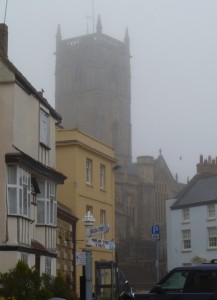
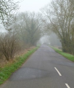
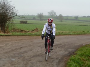
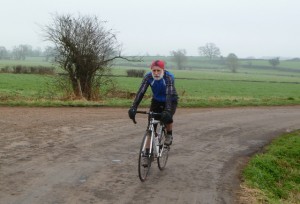
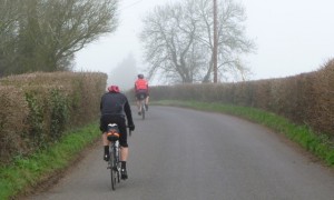
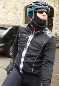
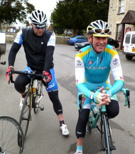
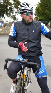
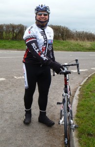
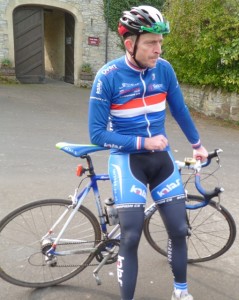
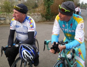
There were four of us today – myself, GB, DM and GH, which made us, I like to think, a fairly well matched bunch. It was grey, and foggy, and a little chilly, and to use a lovely word, just kinda claggy. Not being able to see anything much made for oddly boring and monotonous cycling, though I’m not one to complain about a lack of wind, so I won’t. All that fog was annoyingly wet again and rather than turning my sunglassees into a pince nez like the last time, they ended up in a back pocket for most of the ride. Being a contact lens wearer this is not ideal, but it was better to risk bits in my eyes than not being able to see where I was going, and for the most part I got away with it.
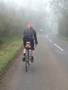
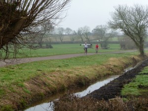
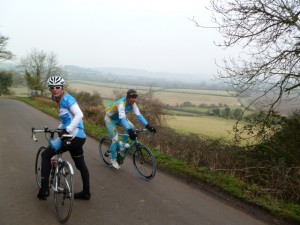
It’s a fairly direct route from here to Langport really – Wedmore, Shapwick, High Ham, and you’re there. High Ham was the usual slog so I distracted myself by taking photos of GB and DM disappearing into the distance, which lessened the pain somewhat ;).
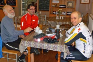
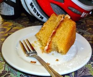
The descent the other side was lovely, and the coffee stop was just as welcoming as last time, albeit without the free cake *grin*. This is not to say that there wasn’t cake, as you can see. I think GB would have preferred a bacon roll, which he could have had but he’d assumed it wasn’t that kind of place. Never assume… ;).
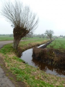
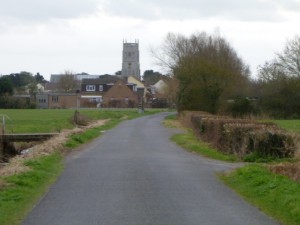
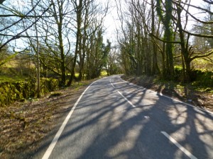
Time to come home again, avoiding retracing our steps at all costs obviously. It was pretty chilly setting off again, which is always quite motivational, and makes you go faster to warm up! Not only did taking a different route make the return journey somewhat flatter as previously mentioned, but it also involved using a lovely road from Catcott to Burtle that may actually have been new to me! At the very least, one of the roads less travelled for sure.
There was somewhat of a tailwind on the way back, in so far as there was any wind, and that never does any harm…so there were brief patches of zone…and stirrings of mojo :). Slowly the fog was lifting, the skies were lightening, and as could have been, and indeed was, predicted, we were back in Axbridge just in time for the sun to come out into blue skies… Ah well, at least if the sun wasn’t out, neither were the Sunday drivers. Well, not as many of them as could have been anyway.
It was a really enjoyable loop – including enough up to be a bit challenging, some nice descents, and some lovely fast flat. I can see me doing that one again. As long as there isn’t any wind to speak of that is – it’s a very north/south loop, and it’s quite exposed for a lot of it, which means there’s no such thing as a good wind direction for it! We did a much better job of ‘G‘ being for Group than usual too, which always leaves me feeling better about an ACG ride. It is, after all, the point.
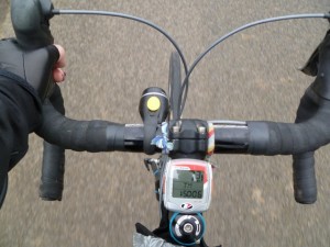
According to the usual cycling computer – I did this:
Cycling time: 2:47:10 hrs
Distance: 49.16 miles
AVS: 17.5 mph.
According to Strava – the latest fad around here – I did this:
Cycling time: 2:46:49 hrs
Distance: 46.2 miles
AVS: 16.6 mph.
Considering that the bikeroutetoaster route was designed to be 46.17 miles, this would imply that my cycling computer is indeed over recording. Don’t know why, so I guess I’ll have to check it’s all set up properly again, which will probably only hold true until I change the tyres again anyway! In the meantime I guess we’ll go with the Strava route as actually ridden, with the relevant facts and figures, for the sake of accuracy, even if it does make me slower 🙁 Which takes the ODO to 12465, should anyone other than me care… No? Thought not :).

